
Paving the Way for More Resilient Infrastructure with BIM and GIS
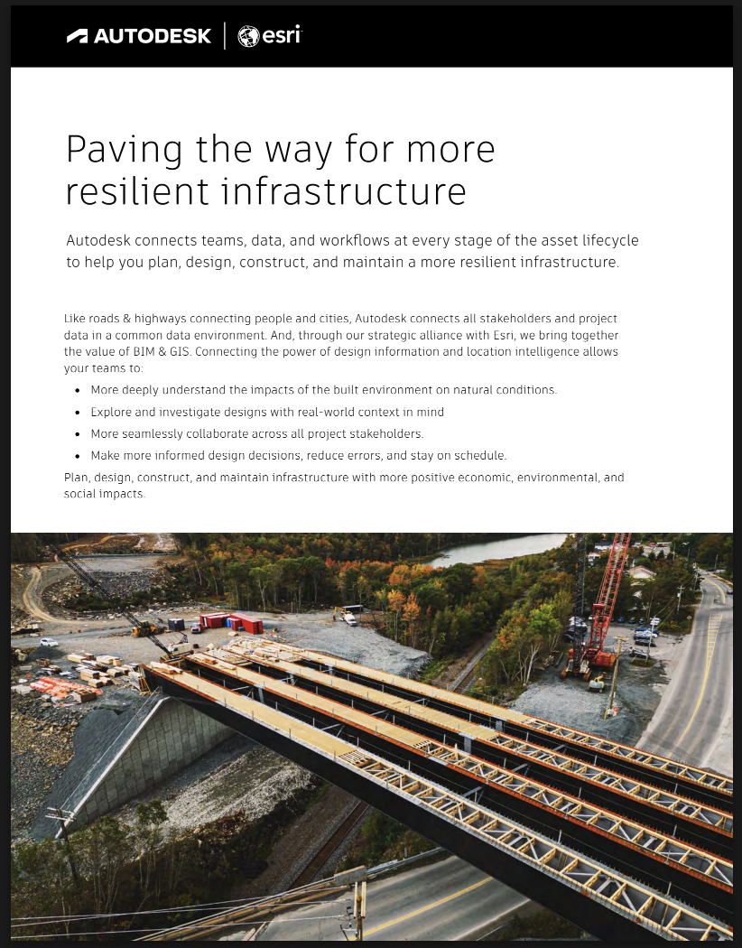
Autodesk and Esri connect design information with location intelligence to help infrastructure teams plan, design, construct and maintain more resilient assets. See how combining BIM and GIS improves collaboration, reduces errors and keeps projects on schedule.
